NAVI App
The GPS app for fully automatic headland and section control.
NAVI App
The GPS app for fully automatic headland and section control.
NAVI App
The GPS app for fully automatic headland and section control.
NAVI App for Android™
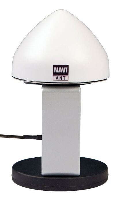
For headland and section control we offer a complete "plug and play" solution consisting of a GPS antenna (NAVI Ant) and a wireless communication module (NAVI Com) connected to our monitor CALIBRATOR TOTZ/ZURF.
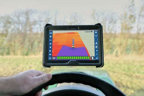
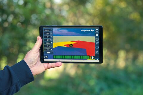
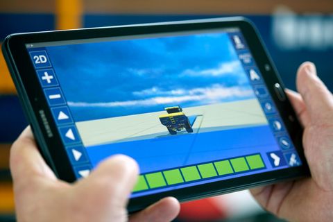
The GPS app runs fully automatic headland and section control. In addition you also get the possibility for measuring out straight or curved A-B lines.
The NAVI App concept is available for all W-spreaders with CALIBRATOR TOTZ/ZURF.
NB. You can download the app from Google Play and run a demo version.
NAVI App version 3.0.0 and newer
With the newest version of NAVI App you have the opportunity to sign in to your Google Drive™ account and import / export your valuable field data.
You already have automatic access to Google Drive via your Google Account.
- Easy loading of environmental friendly application maps
- Automatic data exchange of documentation files via Google Drive
- You'll be able to use application maps from e.g. Yara Atfarm, Cropsat etc.
- You'll have the possibility to allow an agricultural consultant access to upload or download documentation files before or after the field work via Google Drive
- You can easily keep track of the documentation in case of authorities check
- You'll have transperency and traceability in your food production
- In the combination Calibrator Zurf / Totz and Navi App, the entire product range meets the requirements for precision agriculture
- No annual subscription
- You'll be using a system that you may already know
Your field data is valuable!
With a new update Bogballe automates the recording of field data in the popular Navi App. The solution includes a full integration with Google Drive, which ensures that the log files are stored securely in the "cloud".
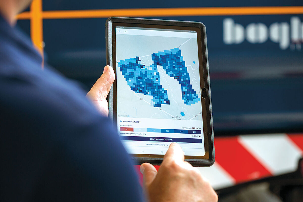
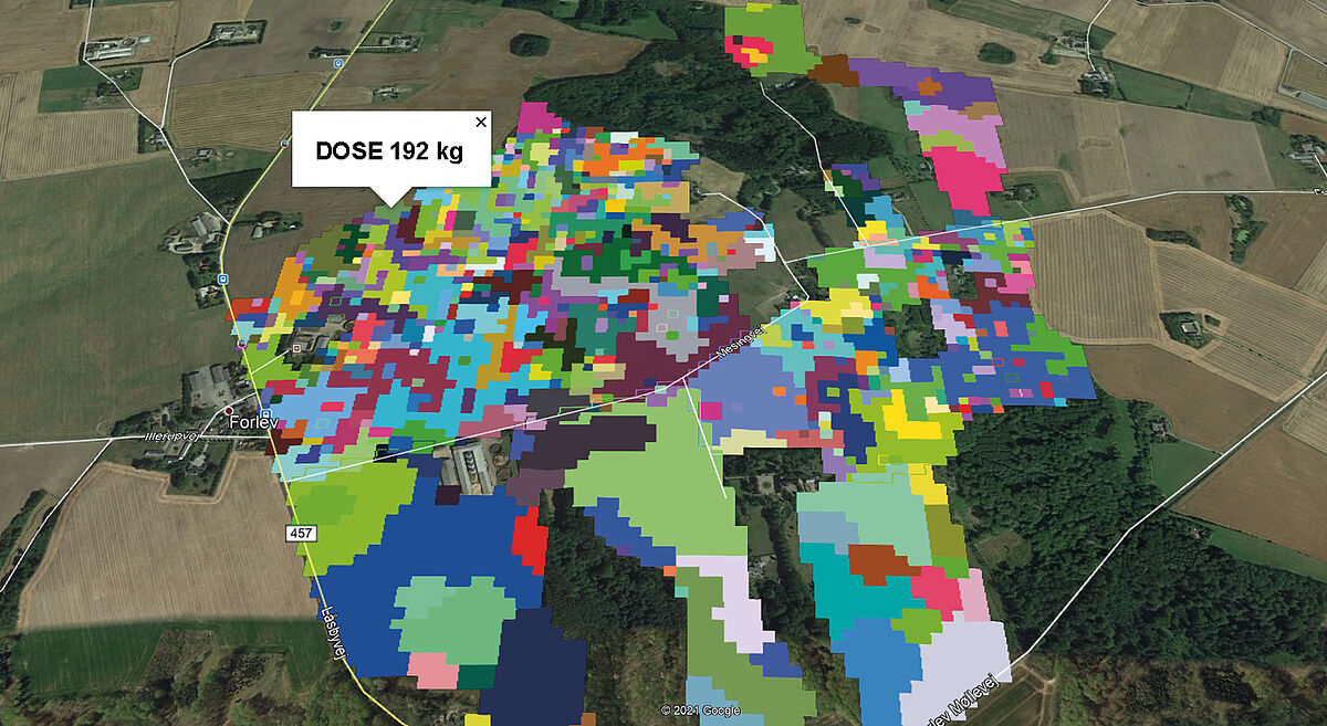
Get started with application maps
There are several solutions where it is possible to create application maps e.g. the Yara Atfarm solution where you easily can get started with making your own application maps without having the great PC knowledge.
Keep track of the documentation
Once the spreading work has been completed it is possible to keep track of the field data that shows the amounts of fertiliser that has been spread in the application zones in the field. Typically, it is not the collection of field data that is the primary when you are busy with working in the field. At that moment it's more about capacity in ha/hour. When it comes to documentation from application maps processed via Bogballe's Navi App, it is easy to collect the data as it happens completely automatically. Once the app is running in the field it collects the data that shows where the fertiliser has been applied. Subsequently the documentation is used to generate a shapefile.
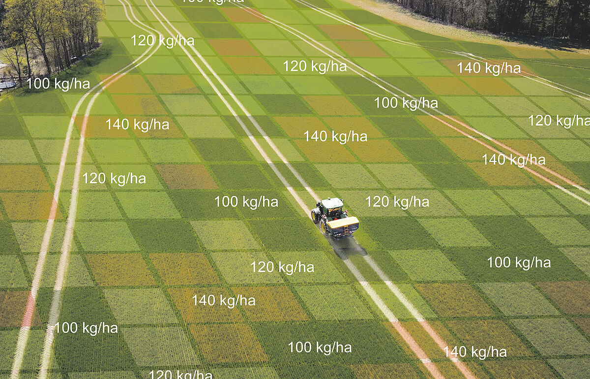
Benefits from precision farming
Is there money in using application maps? There are significant side benefits from using application maps such as the possibility of higher yield output, a more uniform crop quality, less lodging and higher capacity on the combine harwester. Overall, it is therefore a good business to get started with precision farming.
Google Drive is a trademark of Google Inc. Use of this trademark is subject to Google Permissions.
What data will NAVI App have access to?
In order to offer integration with Google Drive, the NAVI App must have access to 1 area on your tablet that has to do with Google Drive.
Here you can see why access to the area is necessary:
1) ../auth/drive
You'll be able to export field data and save it on Google Drive.
Please notice
No personal / sensitive data will be shared with Bogballe or third parties.
If you have any questions regarding what the app will do with your user data - please send an e-mail or call us on +45 7589 3266.
Limited use disclosure
NAVI App's use and transfer to any other app of information received from Google APIs will adhere to the Google API Services User Data Policy, including the Limited Use requirements.